Prelude. Ten Years Ago, My White Whale
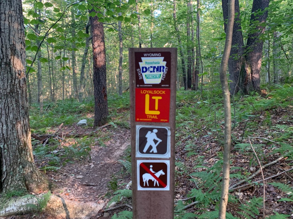
July 2010. One of my early backpacking outings was a trip to hike the 60-mile Loyalsock Trail with a crew led by hiking guru Doug (who, as a side note, is as accomplished on the trail as he is a witty mensch in personality, though now out in the PNW instead of the DMV). Back then we unwisely went at my urging on a very hot weekend in a similarly paced three-day version that I thought I had in the bag as a spry 30-year old who had just completed a similar 70-mile trail. Well, I was wrong. The high 80s heat, the rocks, the myriad ups and downs, and — probably the worst thing — our 24+ daily mileage plan got to me and a buddy who couldn’t keep up with Doug and the vanguard hikers. My buddy and I made it as far as World’s End State Park and around 44 miles on day two and called it quits on the final 15 miles or so. Fast forward ten years. Never finishing the Loyalsock Trail stuck with me. I had never bailed on any other hiking trip, then or since. But though I returned to the mid-Atlantic and continued to hike the exquisite trails of Pennsylvania over the past several years, the Loyalsock remained elusive. It was my white whale, always on the horizon and out of reach. Even when others in DC UL Backpacking planned to hike it, I was always somehow busy and couldn’t join.
Labor Day Weekend 2020. My wife and I chatted weekend plans and settled on me taking Labor Day for a backpacking trip. Neither of us overthought the date, we just figured we would use Columbus Day for something else. Almost as an epiphany, the Loyalsock Trail came to mind and became a fixation. I was finally ready to complete it. Typically I would gather a DC UL Backpacking crew and plan a little adventure with friends. But COVID-19 was still a threat to planning and people. The group deemed it unwise to carpool up and shuttle cars from end-to-end as a formal outing. Undaunted, I arranged a shuttle service to get me to the far end of the trail — just me safely distanced in a ten-person van — and focused on a solo outing. Figured that if Captain Ahab had simply been able to go after Moby Dick all by himself, it would have spared the others on the Pequod the consequences of his own personal obsession.
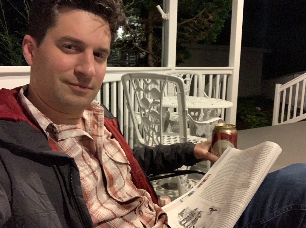
Unfortunately for me, I didn’t have an opportunity to take time off of work for this trip. This made it so that I would have to get the 4.5 hour drive up to the Williamsport vicinity of Pennsylvania from Alexandria, Virginia after work on Friday and back home again by Monday evening. And oh yeah, almost 60 miles of hiking in between that drive. Instead of trying to shuttle and hike on Friday evening, I opted for a 6:00 a.m. Saturday shuttle pick up in Dushore at the eastern end of the trail to drive me to the southwestern trail head. I made reservations at the truly lovely Pavilion in the Park B&B in Laporte for Friday night, minutes from the trail. Though normally I try to maximize my nights in a tent, this felt right. I arrived in Laporte, a small resort area embedded in Pennsylvania’s deep history of hunting, trapping, logging, tanning, and mining, and let the DC hustle and everything else slip away as I sat on the pavilion’s broad porch and welcoming breeze, Yuengling in hand. The temperature that evening, and indeed over the entire weekend, was truly ideal: I would never be hot, cold, wet, or otherwise uncomfortable the entire trip. Not a drop of moisture and blessedly low humidity. Sunny days in the 60s and 70s and crisp nights in the 50s. The trail gods would smile upon this whaling expedition — mostly.
Day One. 23.5 Miles from the PA-87 SW trail head past Angel Falls.
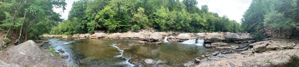
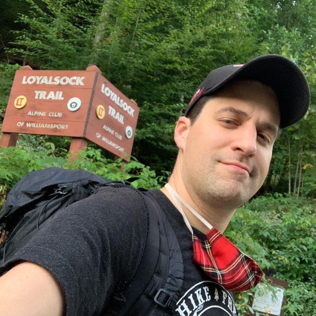
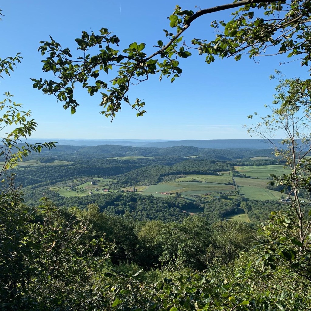
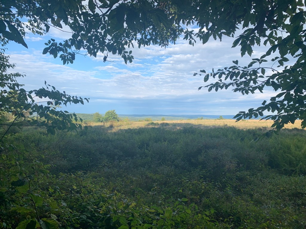
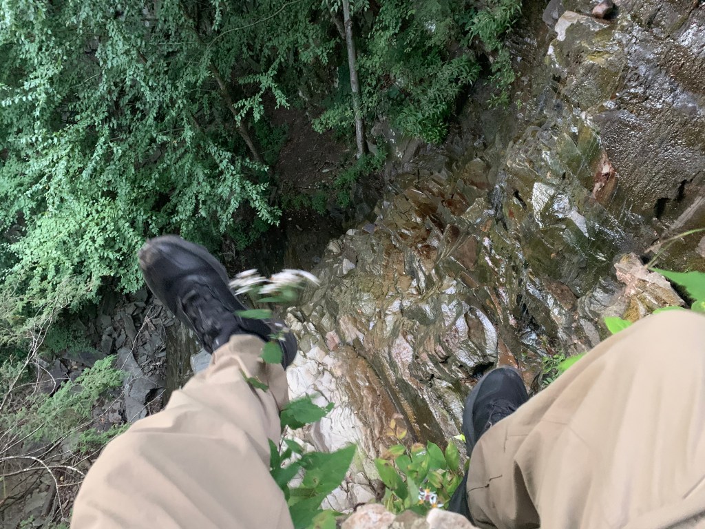
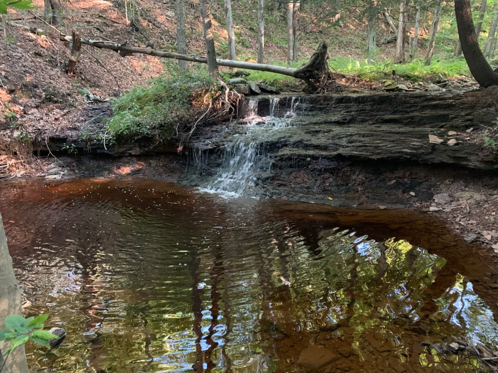
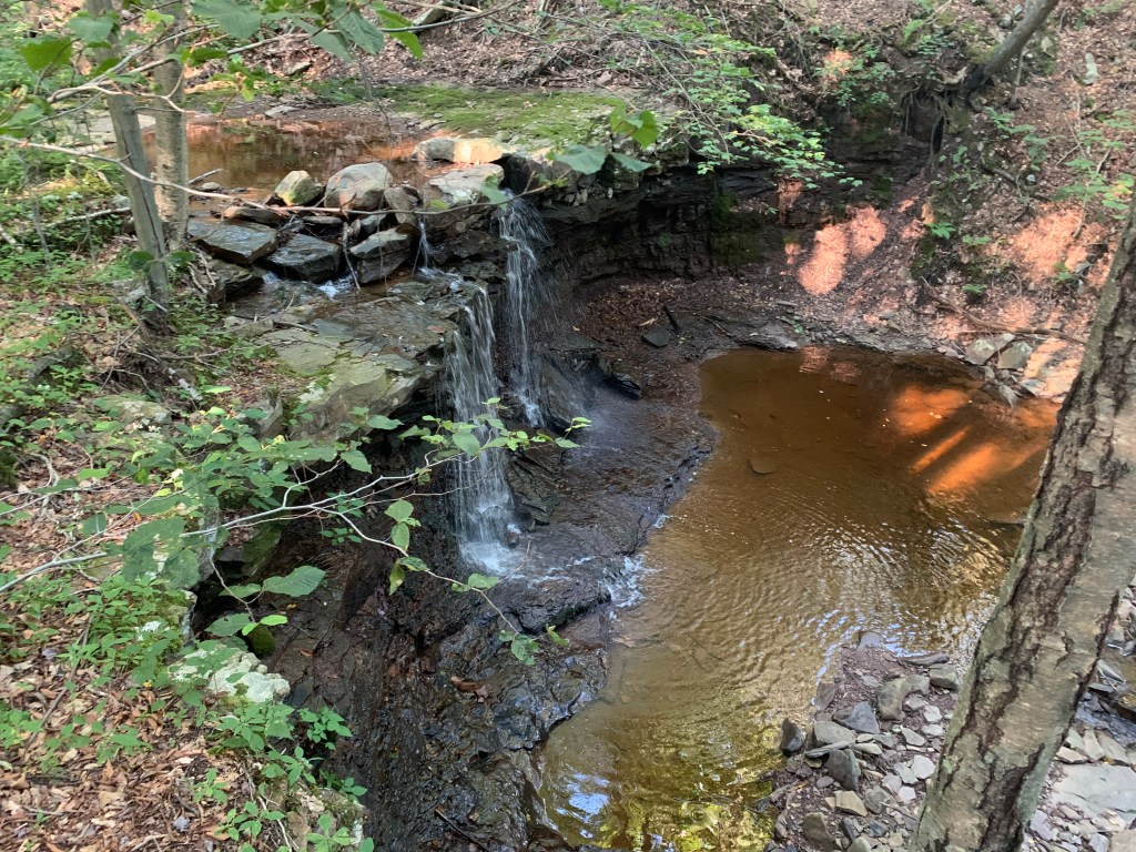
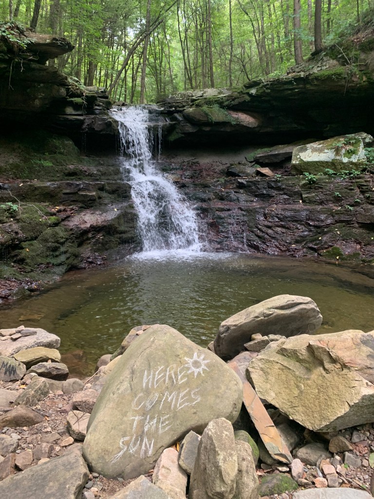
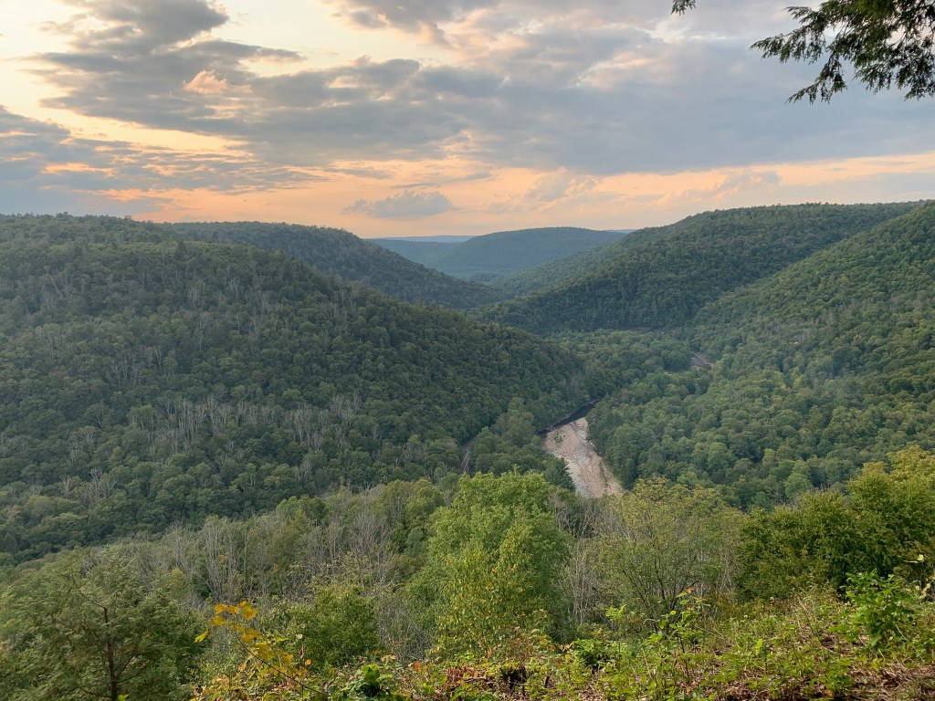
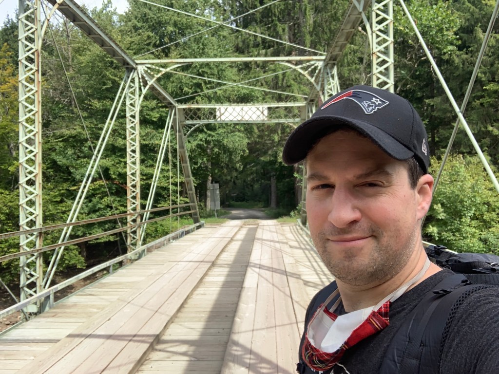
I slipped quietly out of Laporte around 5:30 a.m. and made the short drive to the northeastern Dushore trail head. There my perfect shuttle service picked me and drove me to the other end of the trail. They were awesome, punctual, and even gave me a little understanding of the area from a local perspective. By 7:00 a.m., I was heading straight up the side of the ridge in the morning light for what was probably the most strenuous uphill portion of the trail. I was treated to several vistas over the first few miles itself and the appearance of hemlock glades and exotic sandstone formations that came to define the natural splendor of the trail. Look, I love PA hiking trails. I’ve done the Mid State Trail, the STS, the Black Forest Trail, Chuck Keiper, AFT, Laurel Highlands Hiking Trail, the Standing Stone Trail, and Quehanna. So I know from experience that Kodak-worthy scenic spots defined by vistas, waterfalls, or similarly notable landmark are few and far between in the commonwealth. Not so with the Loyalsock. This is an area where it really stands out compared to its trail peers. Despite ridges topping at a little over 2,000 feet with no chance of a tree line, the Loyalsock creek and tributaries had cut dramatic reliefs throughout the area. While 2,000 feet is not high by anyone’s mountain standard, the trail rarely remained level. I was constantly ascending and descending 200-500 foot increments every mile or so.
I met my first fellow backpackers around 9:00 a.m. when we both stopped to refill water. They were from New York with a cute trail dog and a five day complete trail itinerary. I could tell already that they were doing it right. I signed the trail register and off I went to explore new vistas and enjoy some amazing trees along the way. The oak, maple, birch, and hemlock forest gave way increasingly to beech groves too. I saw a few ash and elm trees mixed in and marveled at their tenacity to hold on despite the loss of so many of their fellow species. I passed another solo hiker going the opposite direction who was aiming to hike into the night to complete his final 14 miles of trail. He had a big smile on his face and was enjoying the weather and sights as much as I was. I was thankful to be the one who had 45 miles to go.
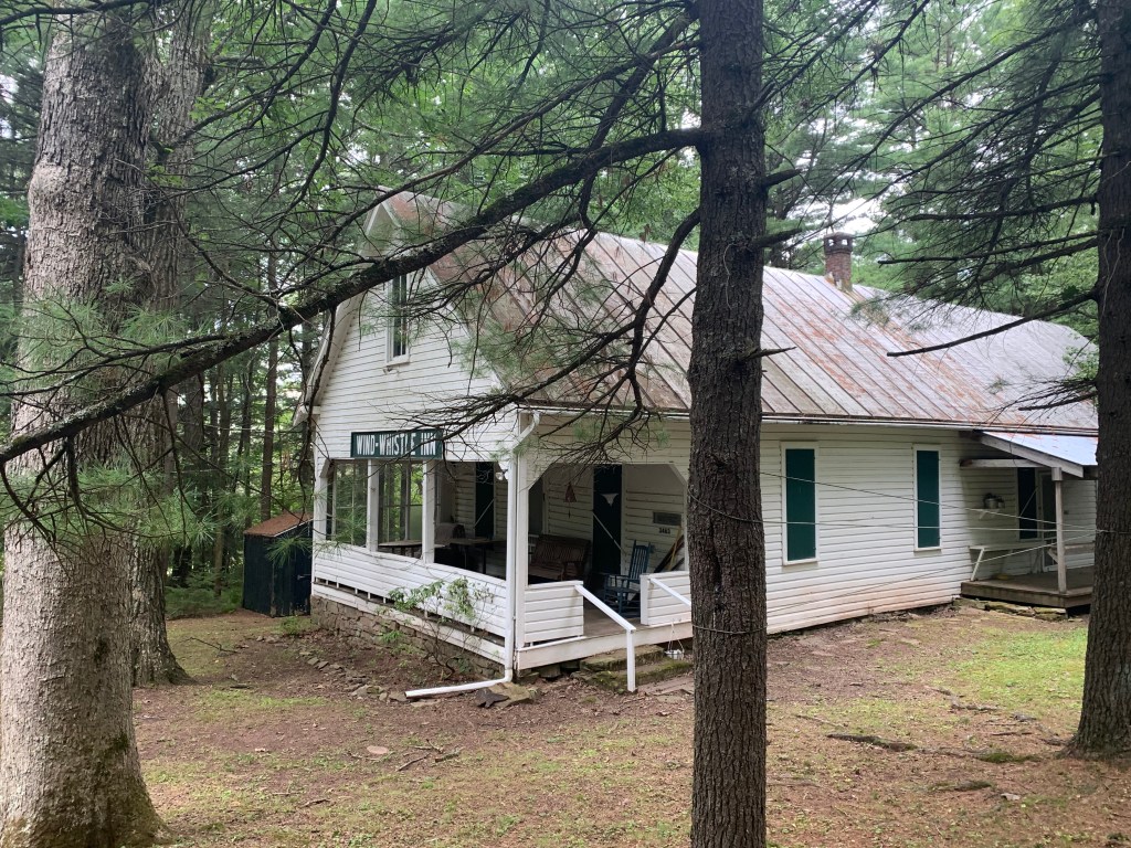
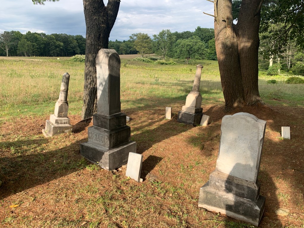
Around mile 16 for the day I came off the ridge proper and followed the Loyalsock Trail to a country road for a few miles. As I came closer to humanity, I was serenaded by a fascinating medley of gun shots: black powder cracks, semi-automatic medium caliber barrages, a few shotgun blasts, and a couple explosions that sounded more like cannons and grenades to me than anything else. I never did see a range but passed by close enough that I was nervously watching the surrounding trees for any sign of bullets. The first few miles of road walking were forgettable except for some fun-loving ATVs roaring past. The last couple miles, however, were a real treat as the road and trail passed some modern civilization in the form of hunting clubs with festive long weekend crowds and some pieces of history as well. The remnants of the Wind-Whistle Inn and a former casino and resort cabins hearkened back over one hundred years to when this area was a haven for at-play loggers and their entourages while every tree was stripped from the region for lumber and tanning (hemlock bark being a key ingredient for 19th century leather tanning).
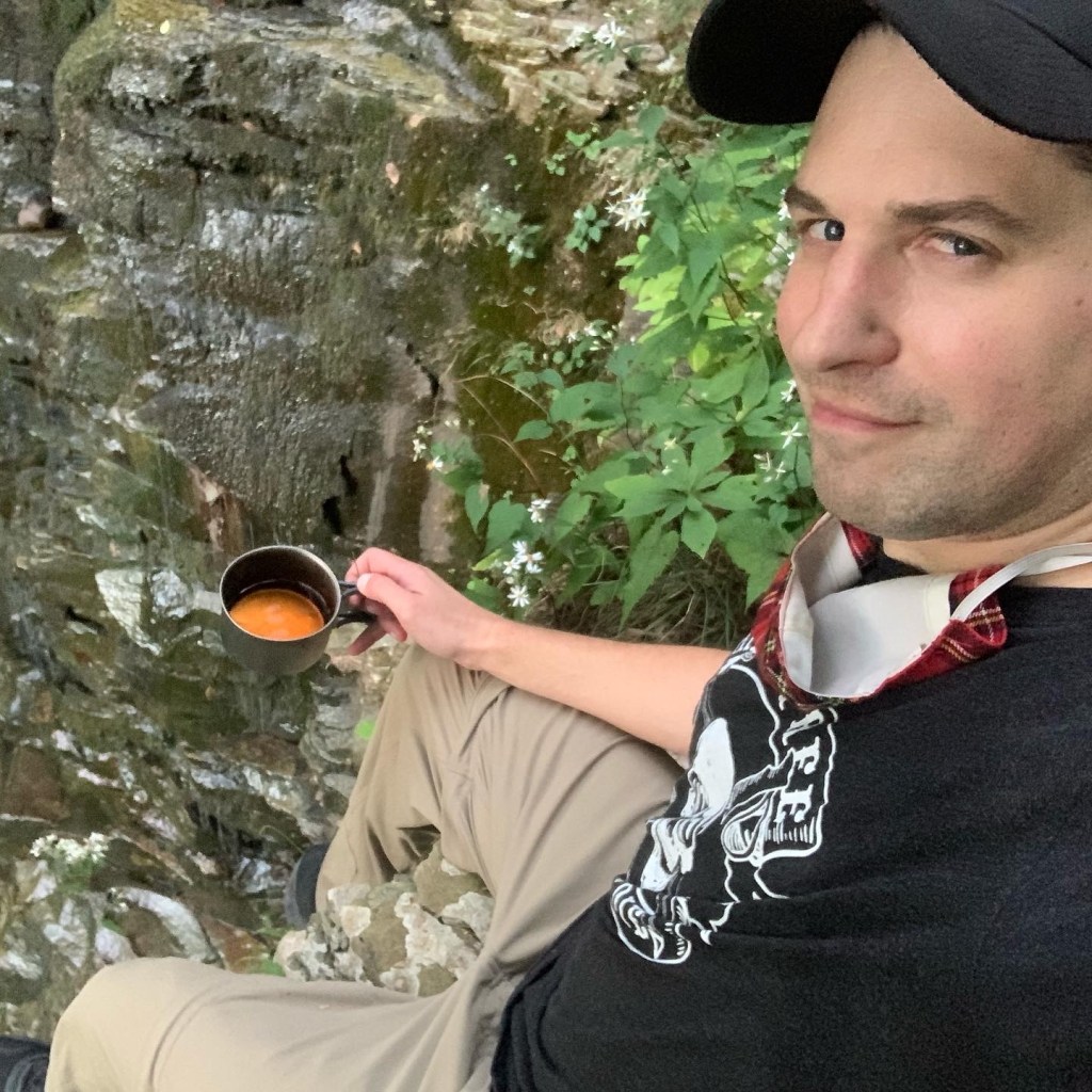
I left civilization late in the afternoon, making slower time than I had anticipated. My plan was to get to Angel Falls before sunset for a good view and then onward to find a suitable camp. I pushed on as golden hour transitioned to twilight as I reached the trickle that is late summer Angel Falls. I wasn’t disappointed, however, since the dramatic cliffs around it were stunning in their own way. I dangled my legs and sipped a little whisky to take it in. Then I moved on to find a flat spot for my tent for the evening. Hiker midnight came at 9:00 p.m. for my eight hours of sleep before hitting the trail dark and early for another 20+ mile day.
Day Two. 22 Miles of Hiking from Mile 23.5 to World’s End Vista. Not the Plan. Read On.
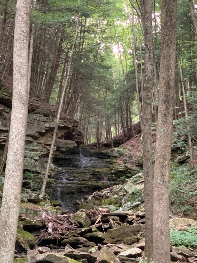
I was up at 5:30 a.m. and hiking by 6:00 a.m. — necessary for me to put in the miles at a somewhat leisurely pace. I do like to hike all day but I’m not trying to break speed records and I just want to take it all in. This section of the Loyalsock Trail was truly spectacular. There were waterfalls everywhere, despite the relatively dry season. Vistas too. There were amazing, towering sandstone features. As noted above, this aspect of the Loyalsock Trail made it feel to me like a greatest hits album version of Pennsylvania trails. Rarely did I go more than a couple miles without seeing something else of striking note. I took a particularly long break at one of the Ketchum Run waterfalls to enjoy a leisurely lunch and a cigar. I met a great Philadelphia area backpacking couple who knew the trail well. We talked theoretical linguistics and living in Morocco for a bit while also sharing trail recommendations.
Once I began to push on, I realized that extended waterfall and vista breaks were going to cut into my late afternoon hiking plans. I knew in the planning phase that my approximate mileage-based campsite for this second night was unfortunately in the middle of World’s End State Park — off-limit to backcountry backpackers like myself for about seven miles of the Loyalsock Trail. Early on in my pre-trail planning, I played around with camping just short of the park boundary or even carefully planning to hike away from the park along one of the creeks for the night. But as the hike was about to begin on Friday, I realized that Monday, September 7 was my wedding anniversary. Somehow when thinking of “Labor Day weekend” it had slipped both of our minds. But once I realized it, I knew I needed to be back home for at the very least an anniversary dinner together. This meant I couldn’t pull up short on Sunday and lengthen my miles for Monday. I set my goal to hike past High Rock Vista to end up past World’s End State Park for a legal camping area. This would have been at approximately mile 47 on the Loyalsock mile markers and about 23.5 miles for the day.
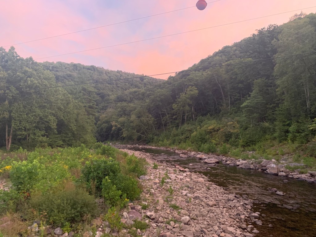
I made it to the expansive views and purple hued skies of the Loyalsock Canyon Vista at about 20 miles for the day around 6:45 p.m. and thought about having an early dinner to keep up my energy for a hike into the evening. The view was excellent and I reminisced about hitchhiking from here in 2010 during my failed outing. This was the exact spot where my previous attempt had ended in ignominy. But there was a bunch of folks at the overlook heatedly debating presidential politics and I just couldn’t stand to be around it. I had fled DC to the woods for a reason. I pushed on, down into World’s End proper along Rattlesnake Switchback and a series of scenic stream crossings.
The so-called Link Trail came in to join the Loyalsock for a hot sec and confused me a bit in the twilight. At one point I ended up on it and its similarly featured metal medallion blazes before realizing I was off the Loyalsock Trail. I briefly considered just taking the shorter Link Trail down to the state park but then turned around in the dark to backtrack to the Loyalsock Trail proper and my hike back up the ridge to meet “Pioneer Road,” a stretch of trail that followed an old wagon road before bridges were built over Loyalsock creek. I was not going to come all this way to skip a single yard of the Loyalsock Trail, I grumbled out loud in my best whaler captain voice. Night came on fast and I was pretty beat. I made it as far as World’s End Vista at about mile 45.5 and looked at the sharp descent down toward the visitor’s center. I also thought of the likely straight shot back up the High Rocks trail portion on the other side of the state park creek side area. I did not want to do either of those two things in the dark. And so I looked at a relatively flat “Pioneer Road” trail spot and set up my tent for the night. No fire, no impact or trace, and a spot that I seriously doubt anyone had considering sleeping on past the 19th century. Yes, this was not technically permitted. I regret it and would never have taken a group to this spot. But I was solo and I was back up and hiking by 6:00 a.m. the next morning. I didn’t see a soul. Apologies to the state park and fellow backpackers for this breech of regulation and etiquette.
Day Three. 14 Miles from World’s End Vista to the End of the Loyalsock Trail.
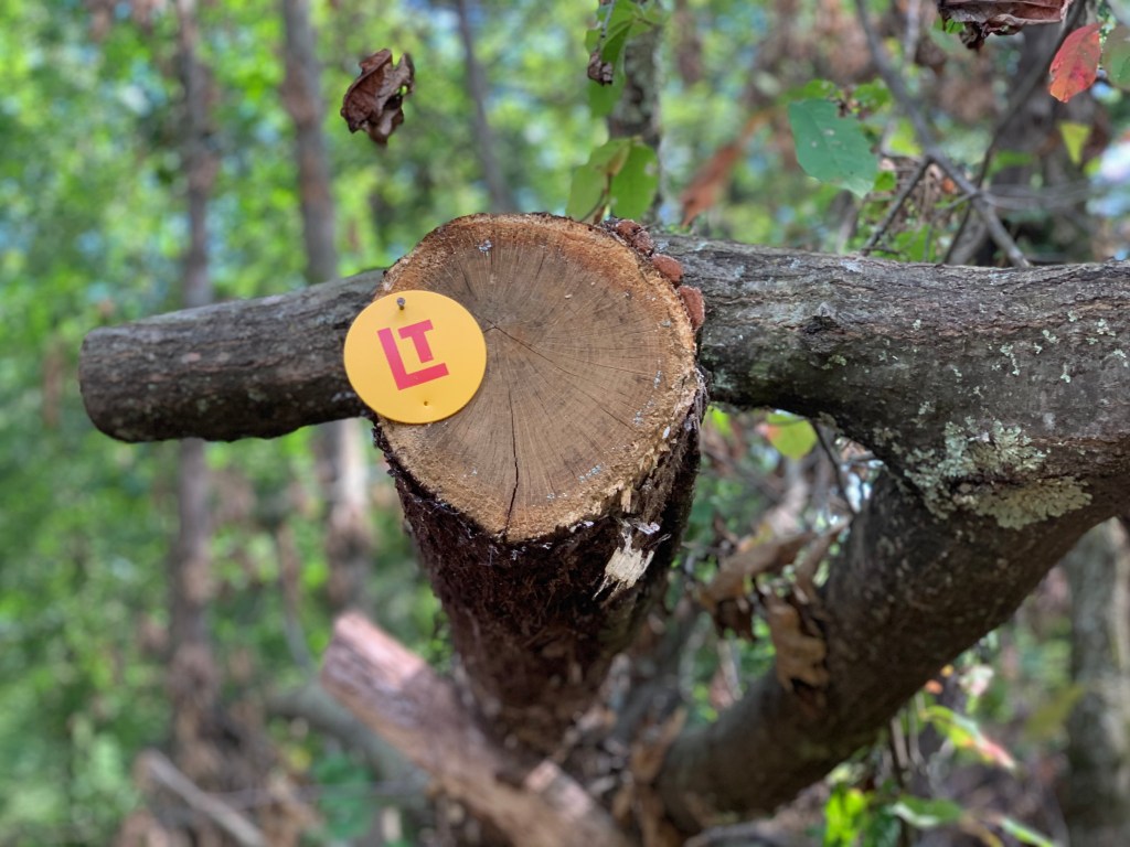
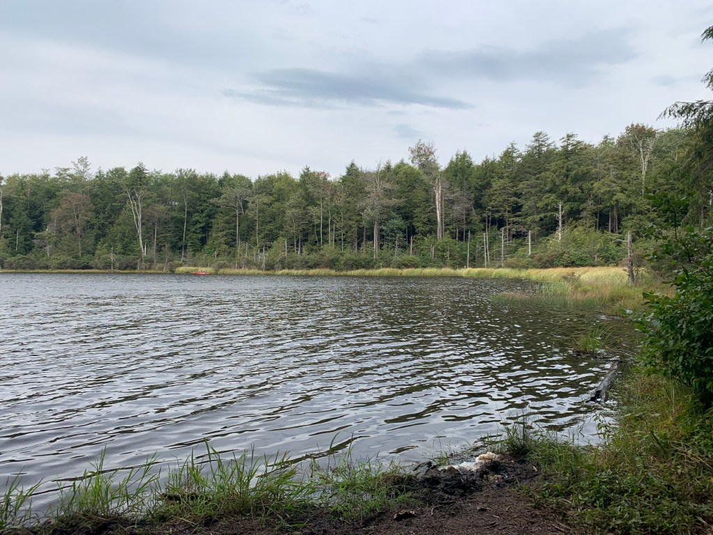
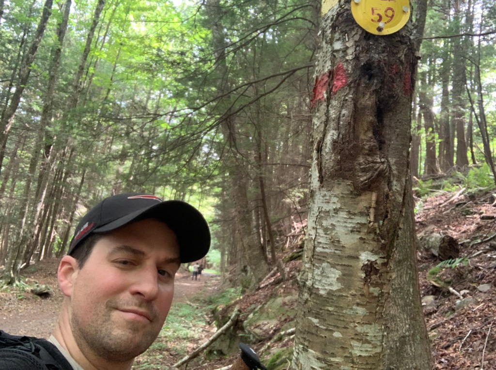
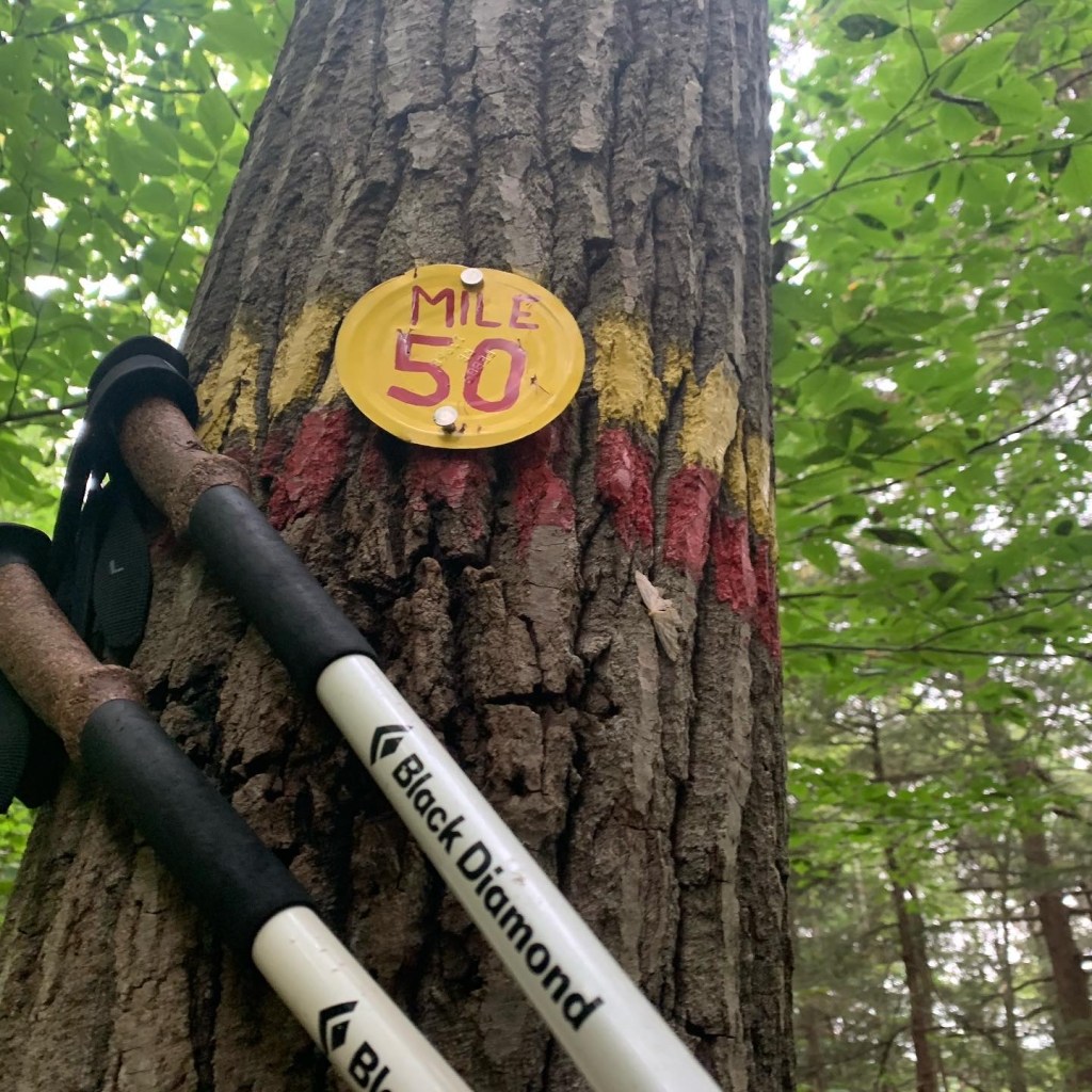
As noted, I was up again early and hiking before the sun at 6:00 a.m. There was light soon enough that I could make my way through the pavilions of World’s End State Park without an issue. Once over Loyalsock creek and the lowest spot of the trail, I picked my way up the rocks up toward High Rock Vista and was glad I made the decision not to attempt this exhausted and in the dark. I hiked on in the morning, soaking in the views and reveling in the hemlocks that made this part of the trail really special. I saw another couple incredible waterfalls and surprised a few campers emerging from their tents in the morning as I strolled past. By the time I hit the Sones area, I was so absolutely smitten with the Loyalsock Trail I was actively planning how and when I could come back. There is just too much beauty and history out here. I called and wished my wife a happy anniversary while imagining us camping among the hemlocks on the banks of scenic Sones Pond. As I completed the trail along the creek, enjoying both hemlocks and rapids in the water, as well as a stretch of pleasant railroad grade trail, I was already regretting doing the trail in such a tight timeframe. I hugged the tree for mile marker 59 and signed my final trail register at 1:00 p.m.
Coda. Finished But Not Forgotten.
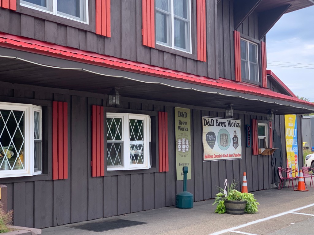
As noted, the Loyalsock Trail is special. Everyone should hike it. They also should do it in four or five days if they can, avoiding my second night campsite faux pas and taking in the trail for what it’s truly worth. Hiking the trail at a hefty daily mileage total made its “greatest hits album” feel a little less satisfying than enjoying the actual “albums” cover to cover. Because of this, I would still rank the quirkiness of the Mid State Trail or the profound remoteness of the STS or Quehanna Trail above the Loyalsock Trail, at least in terms of how I felt when I hiked them. I’m not a fast hiker by DC UL Backpacking standards anymore and I don’t rush through any trails for the sake of it. But I do like to complete trails and am mindful about the drive and taking too much time off of work. I got in a celebratory beer and lunch at D&D Brew Works and their cool terrace before leaving the area. I was a little sad that I missed rendezvousing with some DC ULers in Williamsport after they completed hiking the nearby Old Loggers Path Trail. I will assuredly be back to the Loyalsock area. I won’t wait ten years. I won’t have the whale of a failure from my first attempt hanging over me either. Not anymore.
“There is a wisdom that is woe; but there is a woe that is madness. And there is a Catskill eagle in some souls that can alike dive down into the blackest gorges, and soar out of them again and become invisible in the sunny spaces. And even if he for ever flies within the gorge, that gorge is in the mountains; so that even in his lowest swoop the mountain eagle is still higher than other birds upon the plain, even though they soar.” -Herman Melville, Moby Dick


Leave a comment