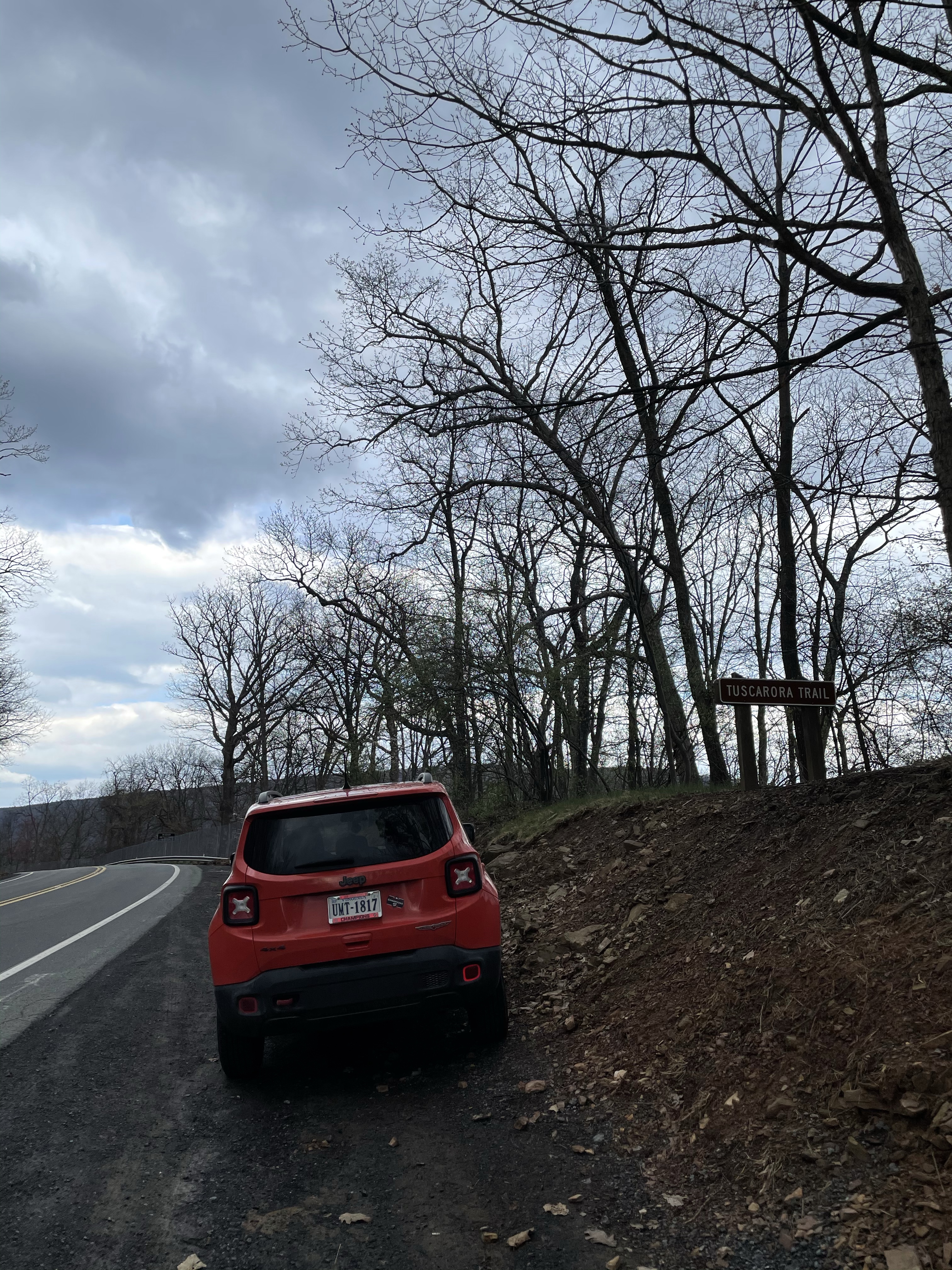
Intro. If this hike was a Coldplay song it would definitely be “The Scientist.” Andrew, Brian, and I said, “Oh, let’s go back to the start,” and reversed direction for our section hike to head southbound (really eastward) along the roughly 69-miles of trail and detours from the West Virginia/Virginia border on Route 48/55 all the way across both prongs of the Shenandoah River to the “start” of the Tuscarora Trail as it meets the Appalachian Trail in Shenandoah National Park (SNP).

[For the section hike finale in June, we’ll finish northbound at the “end” where the Tuscarora Trail meets back up with the Appalachian Trail just south of Duncannon, Pennsylvania, completing its (and our) 250-mile journey.]
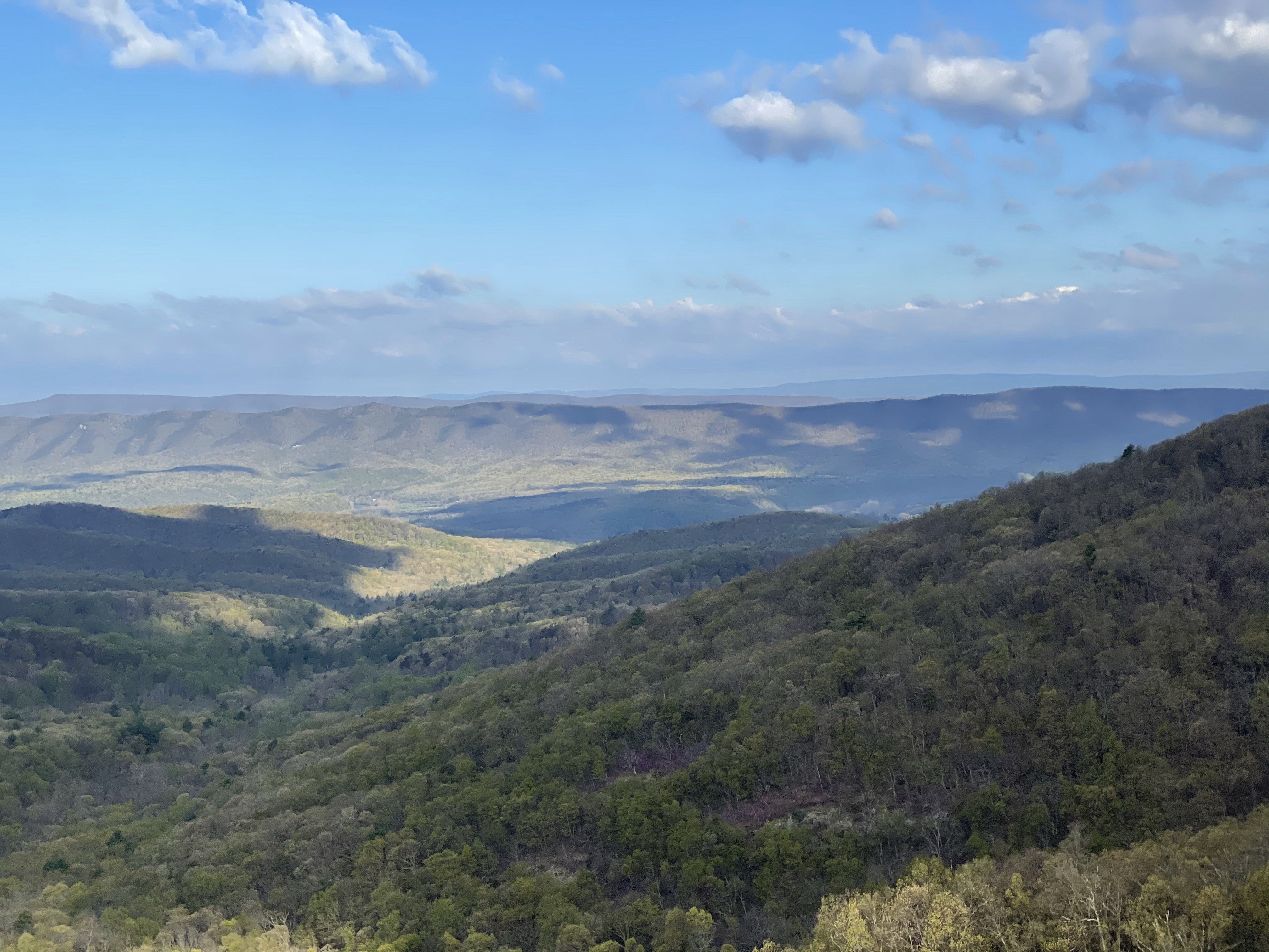
Our trail this trip traversed some beloved tracts of land: Great North — and Little North — Mountain, the Massanuttens, and the SNP Blue Ridge itself. The Tuscarora Trail also wends across the wide Shenandoah Valley and narrower Page Valley to offer us scenic country roads as a change of pace. And you know what happens to show up in civilized valleys as opposed to rocky ridges? Wineries. Right by the trail . . .
Tuscarora Trailing: Day One, April 15 – Rt. 48/55 to the Halfmoon Trail intersection, ~11 miles.
“Going back to the start” had a number of figurative meanings for us this trip. For one, uniting Andrew, Brian, and I put together three of the original DC UL crew, hiking pals for over 11 years. Though this very same weekend our DC UL trail brethren were hiking the 71 mile Massanutten loop the three of us (plus Brett Maguire) started as a tradition in 2010, we were inclined personally to do something a little different. It’s awesome that that tradition lives on but for the three of us, our 24 combined Massanutten hikes were sufficient for the time being. Brian and I plotted a course to continue our Tuscarora section hikes. Andrew had hiked this already a time or two but was still more than happy to join. We met up in SNP Thursday afternoon, left Andrew’s car behind on Skyline Drive, and hopped in mine to drive an hour and a half to the West Virginia border.
By 4:30 p.m. the world slipped away for us as the trail undulated over the beautiful Great North Mountain ridge. We were treated to the scattered white flowers of serviceberry and pinkish petals of redbuds, among others, though high on the ridge at 3,000 feet it was still winter. That changed as we descended into lower elevations to the full, fresh green of spring. The weather was decidedly cool. But it was also dry and held up that way for the duration of our trip — not an easy feat for mid-April. For backpackers prepared for cold nights and days in the 50s, this was as good as it gets.
After about four miles we paused by the PATC’s Gerhard Shelter to chat with a proper Tuscarora Trail “thru hiker,” a big bearded Kentucky gentleman (also named Brian) who eagerly pulled out a little notebook to jot down ideas for his next hike when we regaled him with stories of north-central Pennsylvania and New York’s Northville-Placid Trail. He also gave us a dire report about the rocks of the Pennsylvania sections of the Tuscarora (he was heading southbound and had completed the northern stretch already). I take this as appropriate foreshadowing for our upcoming June hike, though I’d be lying if I said this was the first time I heard about how leg-chewing rocky the PA Tuscarora was rumored to be.


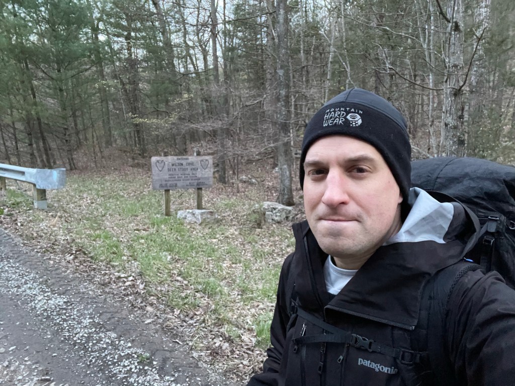
At about mile eight we descended to Waites Run and the Wilson Cove Deer Study Area. Speaking of “back to the start,” this was the parking area for DC UL’s very first ever trip in September 2009. Back then we did a loop that encompassed part of this stretch of the Tuscarora Trail, plus Mill Mountain and Big Schloss. Memories were everywhere throughout this section. If you’re a hiker or backpacker in the mid-Atlantic you too have likely spent a lot of time in this Wardensville, WV/Great North Mountain vicinity.
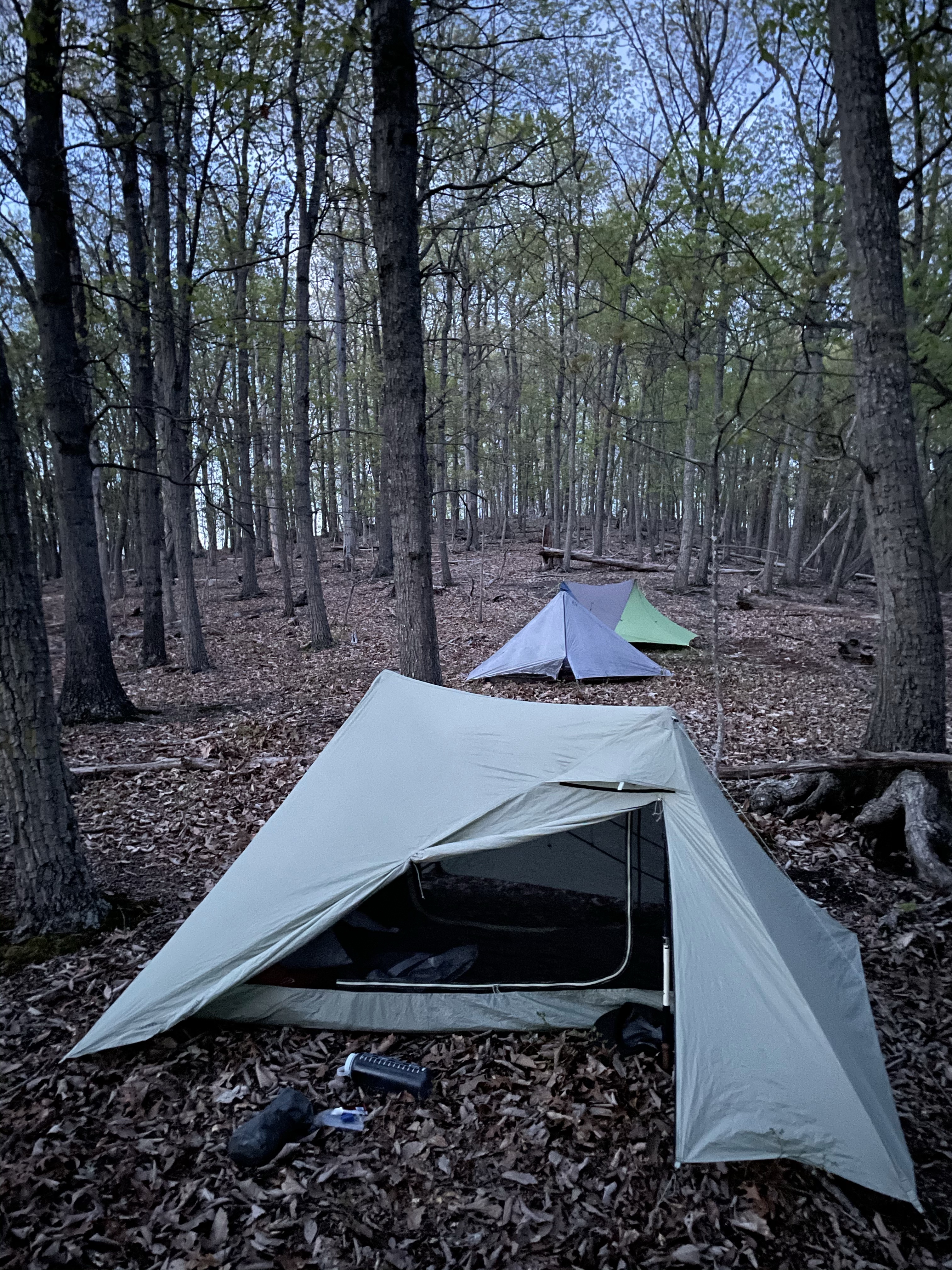
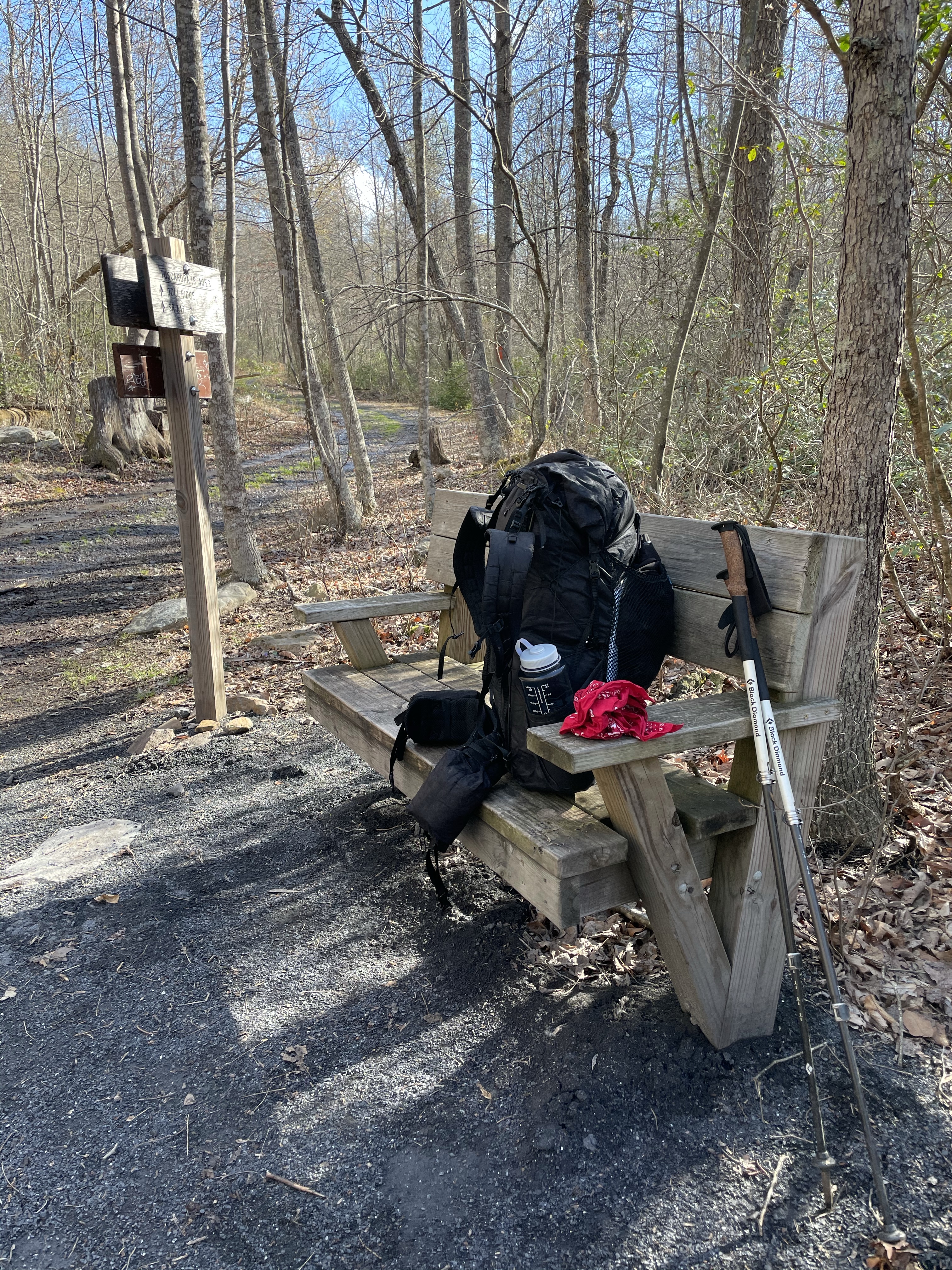
Our final three miles climbing back up to the ridge along Waites Run and its multiple stream crossings were done in the dark. The three of us chatted and caught up on life. We spread out in the large campsite at the Halfmoon Trail intersection as the temperature dropped and the wind picked up. Brian had camped in this very same site in back to back weekends. He had done a section hike starting at this campsite and heading northbound to Gore with Michael and DC UL the week before. We put a few drops of whiskey in our bellies. It was a chilly night down in the 30s. In my sturdy X-Mid shelter, my head hit my hiking pillow and my body snuggled into my Enlightened Equipment 20-degree synthetic quilt. I smiled. Nothing but trail for the next few days. Our evening jaunt of 11 miles would set us up well for the weekend, though two 25-mile back to back days were next for us.
Tuscarora Trailing: Day Two, April 16 – Halfmoon Trail intersection to Doll Ridge, ~25 miles.
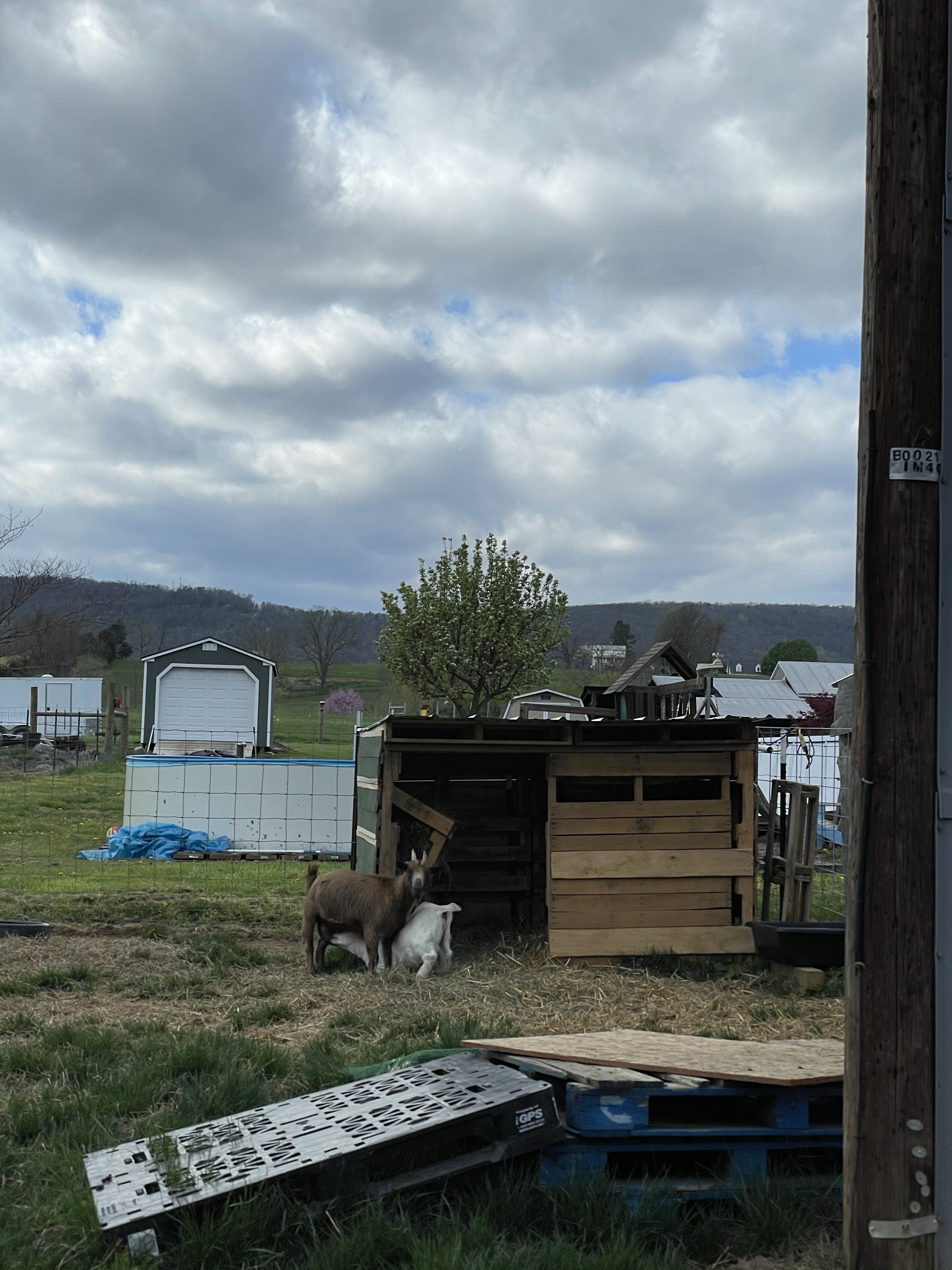
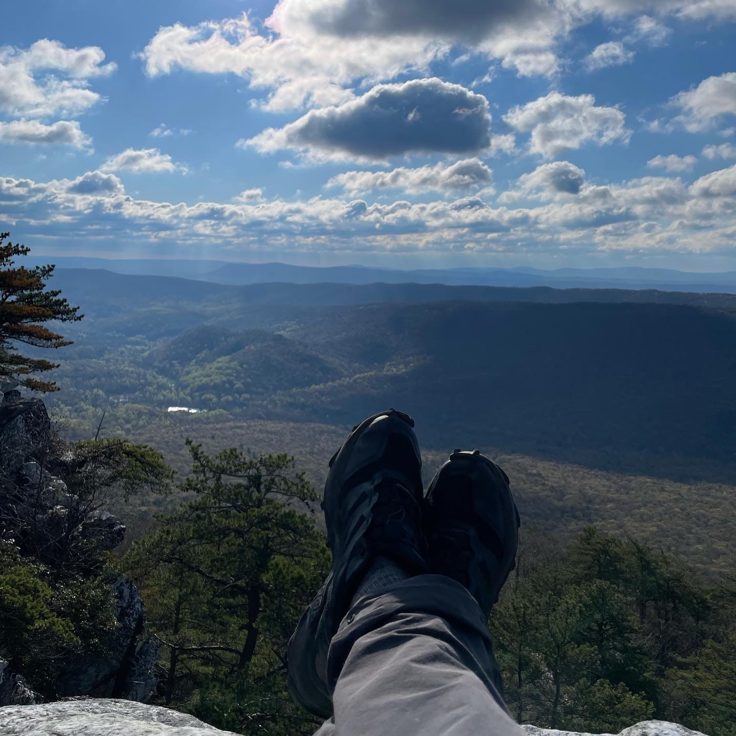
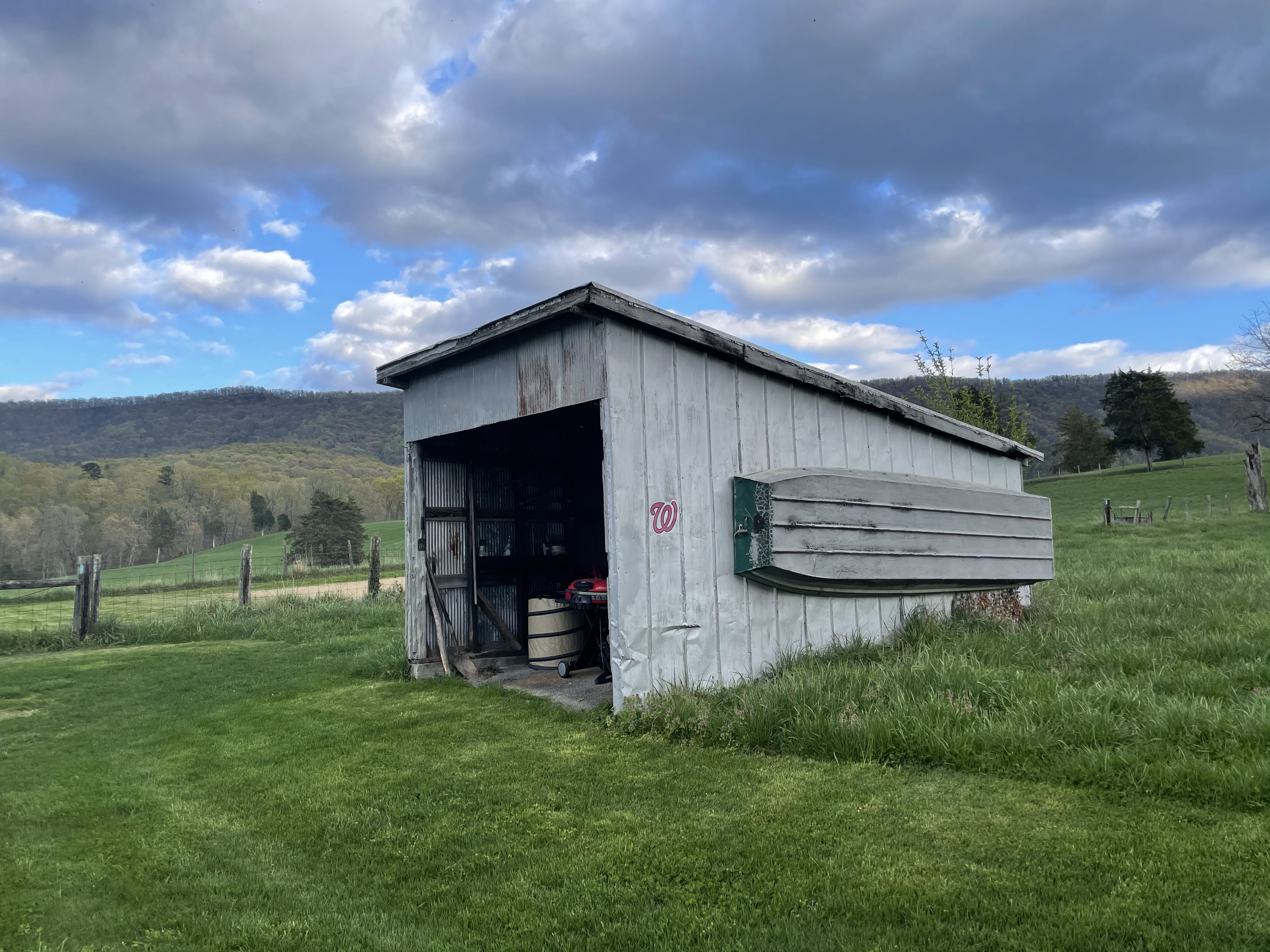
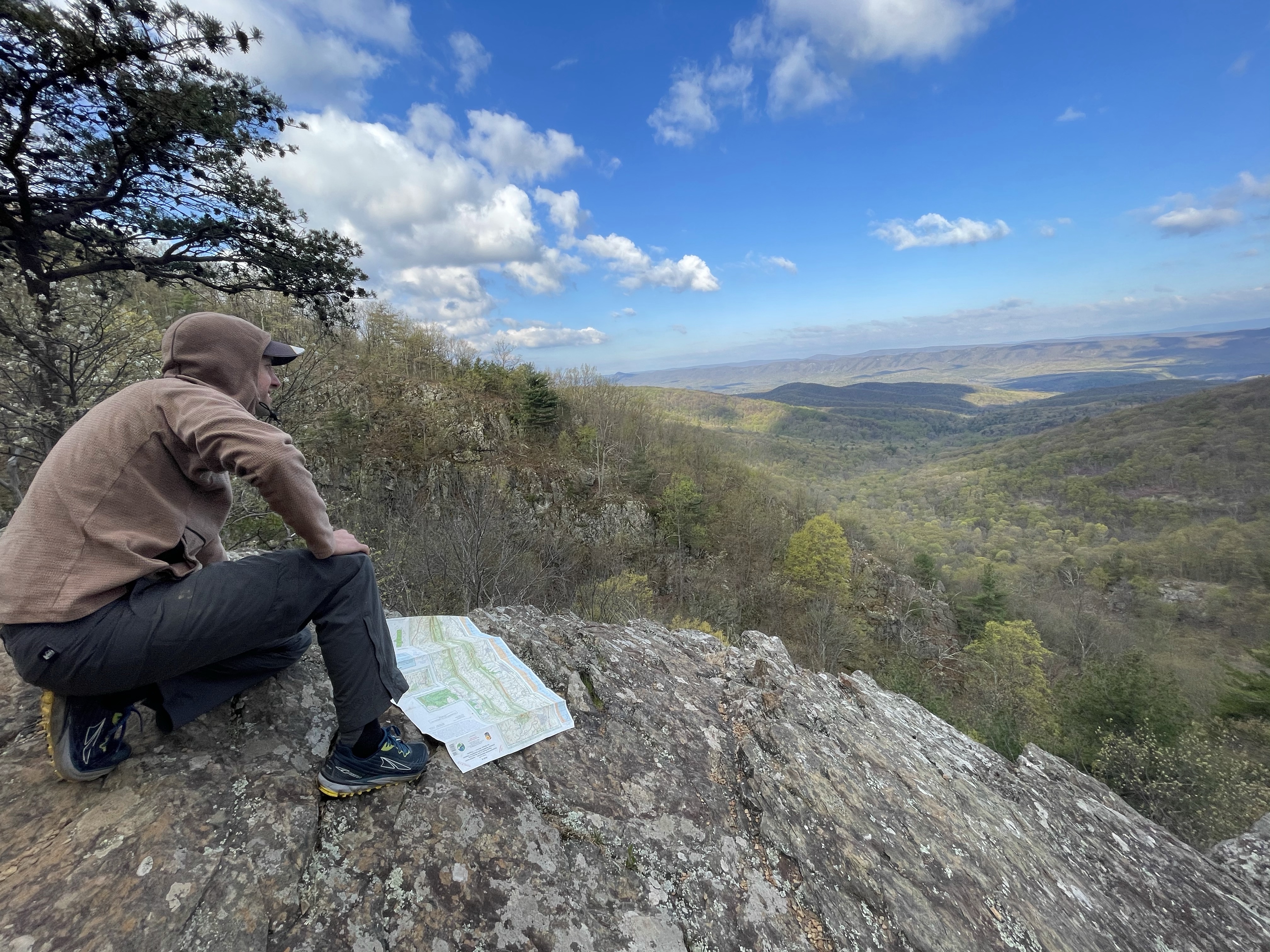
We hit the trail before seven a.m. and thoroughly enjoyed the brisk morning along the ridge. The views at White Rock were breathtaking, as were some of the views of the valley near Fetzer Gap. We met up with a fellow section hiker taking a midday nap (we nicknamed him Napster) and eventually dropped down into the Shenandoah Valley proper for some road walking. Though I wouldn’t want to spend all day traipsing country roads without some proper trail to offset things, a few miles here and there are perfect. Plus, there were goats.

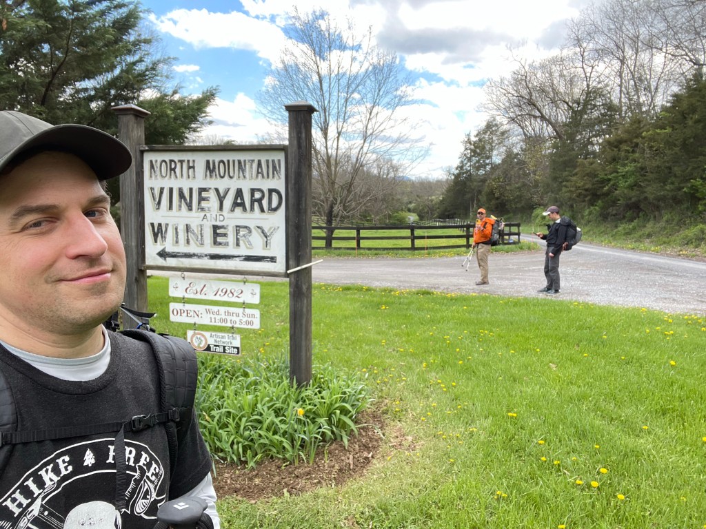
The highlight for this section was actually a long-planned goal: hitting North Mountain Vineyard & Winery. Michael and Jen tipped us off that tasty wine was available near the trail. When we calculated miles on our original route and determined that hiking this section northbound would have us hitting the winery mid-morning before it opened, we opted to change directions for the entire trip to make the winery stop work better. And work better it did. We rolled in around 2:00 p.m., a little later than I had anticipated, received some leftover pizza from a couple who were delighted to share the winery with hikers, and settled into our tasting. We also ordered our own delivered pizza when we found out local provisions stopped at cold cheese and crackers. Brian bought a bottle of (cold) mulled wine to take with us.


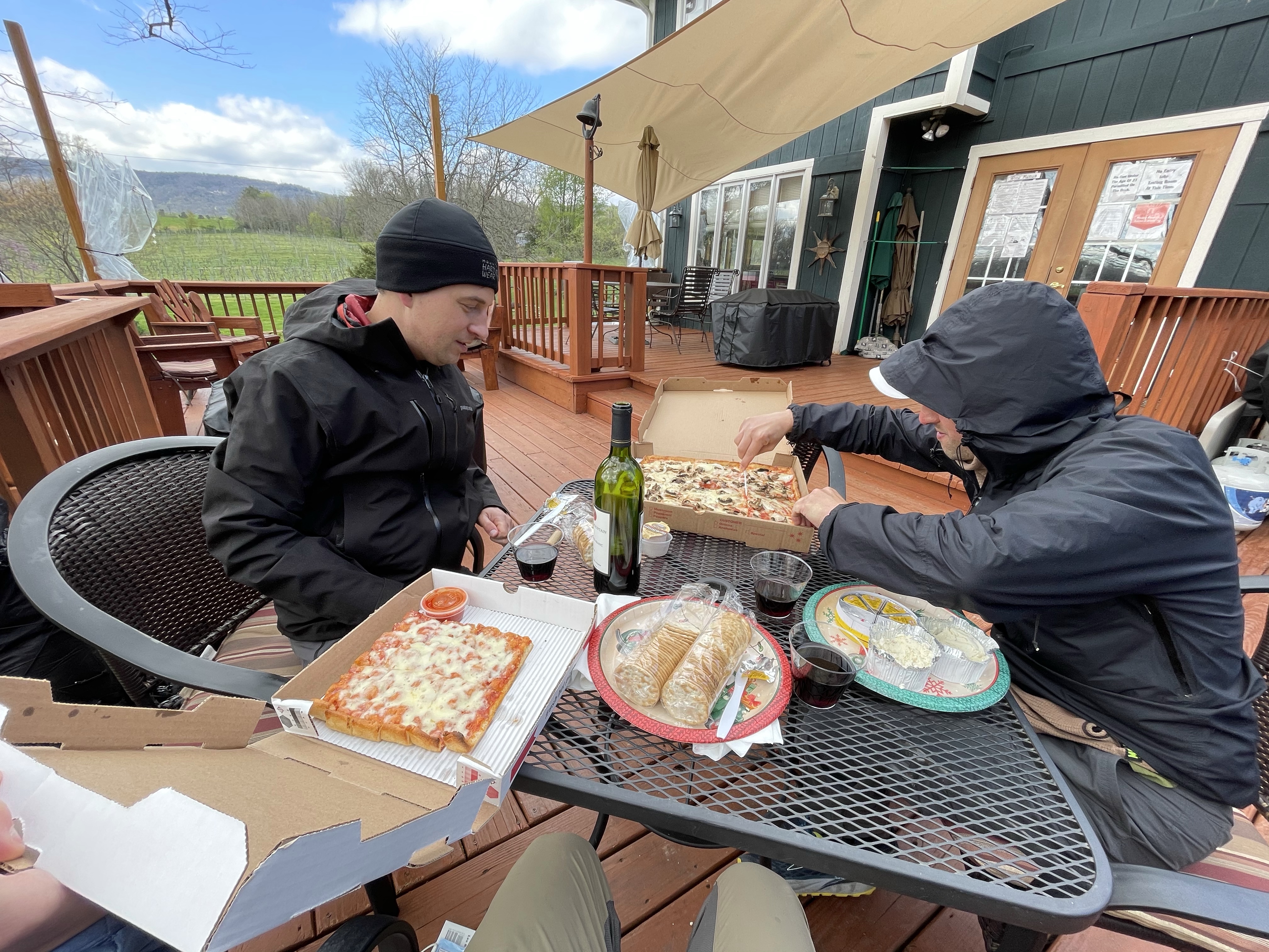
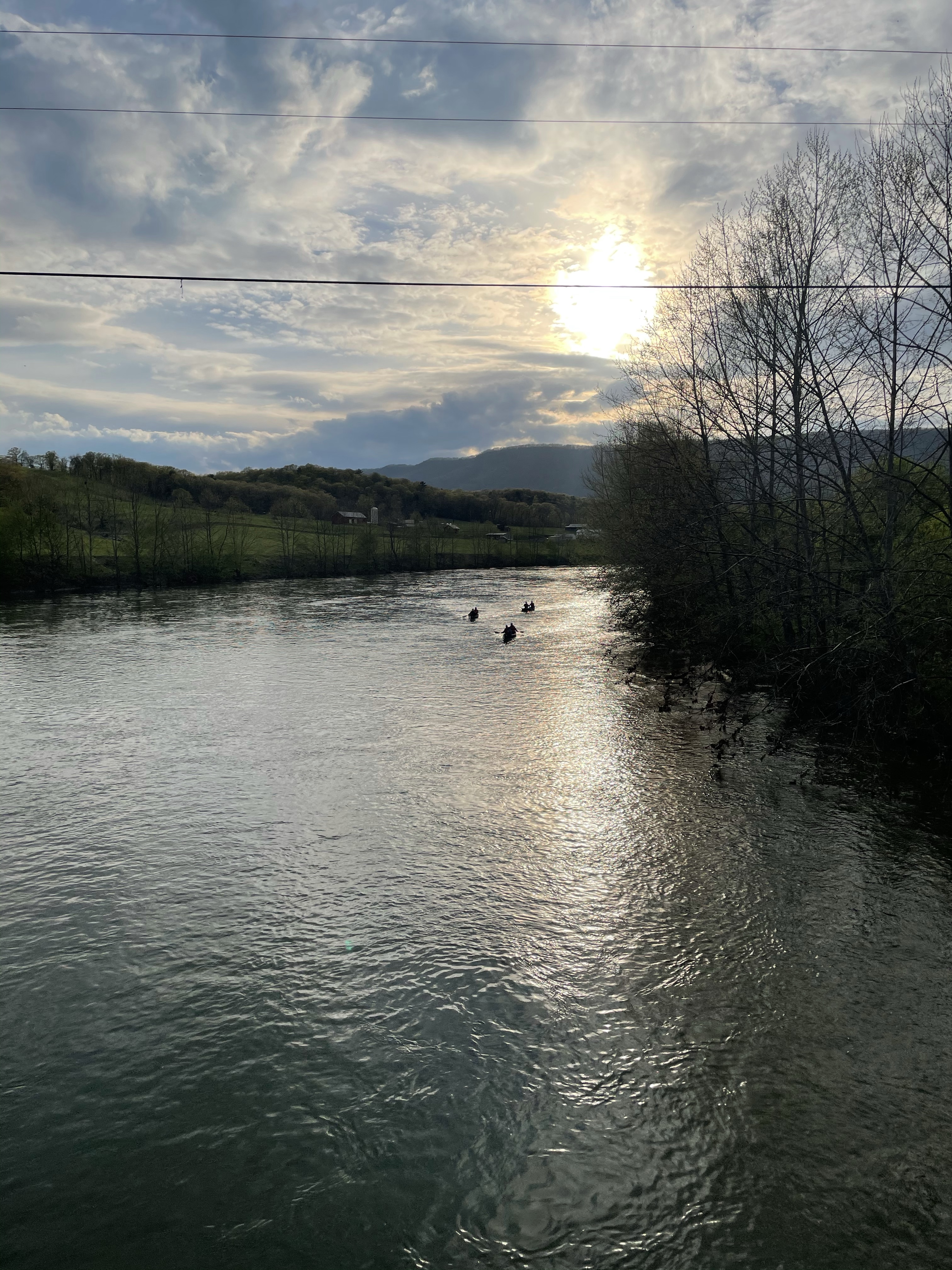
Yes, we were full of wine and pizza. But we had a bunch more miles to go on bloated bellies and buzzed heads. Though satiated we kvetched for the rest of the day about it. We also skipped making our actual dinners that night because we were so full. I enjoyed going over I-81 and the Shenandoah River itself on the journey out of Toms Brooks and Mauertown. Eventually we were back on the trail, passing through a gorgeous farm as evening settled in. Just before sunset we found a flat spot at the top of Doll Ridge and settled in for the night. Brian’s spiced wine hit the spot. 25 miles of ridge, valley, and wine adventures in around 12 hours of hiking were in the bag. And we got to do it again the next day — minus the wine.


Tuscarora Trailing: Day Three, Doll Ridge to Shenandoah National Park boundary, ~25 miles.
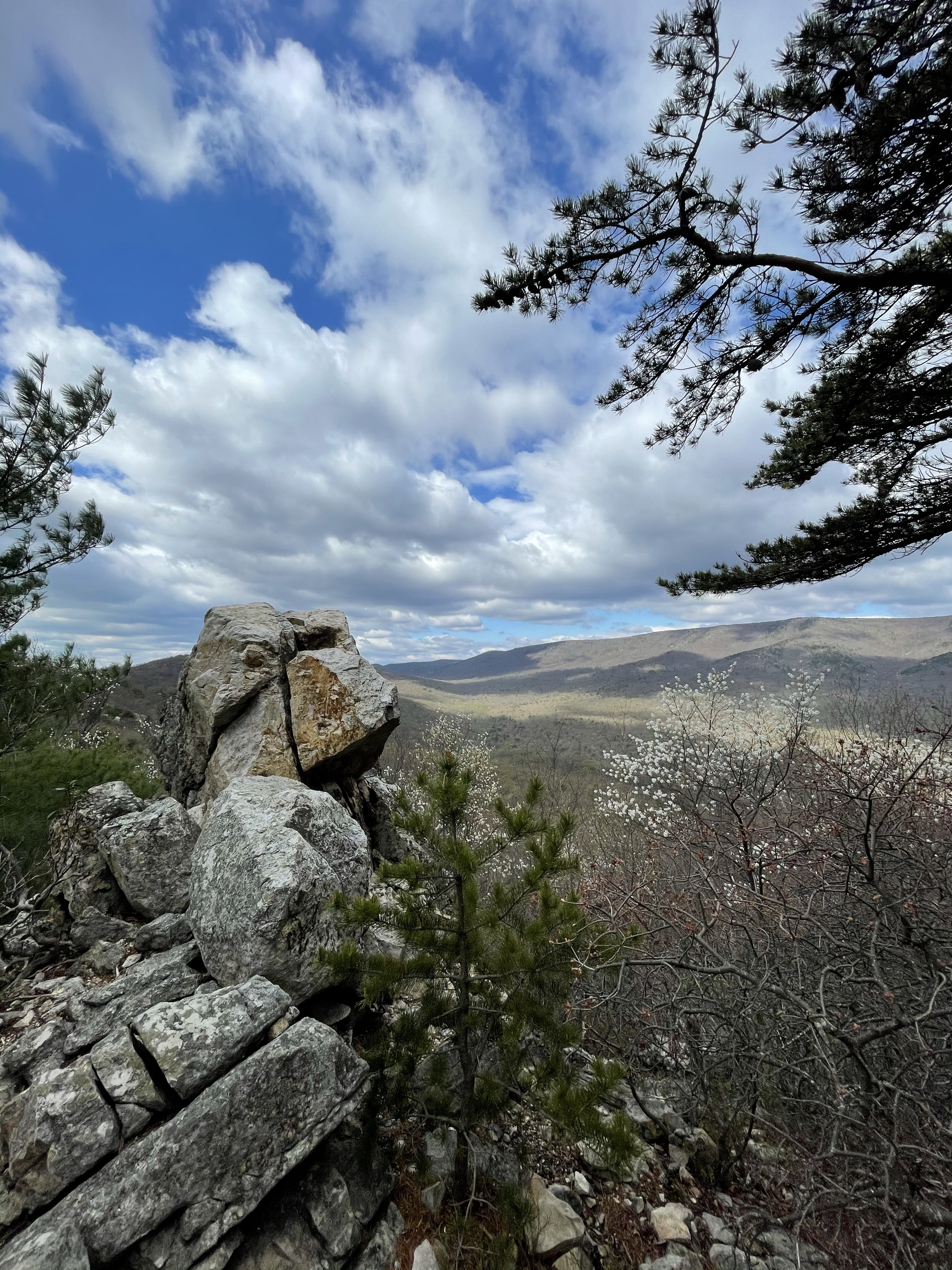
Another early start had us finishing up the last steep stretch of Doll Ridge and lovely Three Top Mountain before heading into familiar territory for most of the day as we met up with sections of the above-mentioned and oft-hiked Massanutten trail. Unfortunately, the DC UL hikers were all far south of us as we passed through the northern stretch. We caught up with Napster, who we had seen walking BY the winery the day before. He had found a nook among rocks on Three Top Mountain to camp. Andrew ended up far ahead after Brian and I stopped at one of the Elizabeth Furnace picnic tables for a leisurely lunch. I cooked what should have been my dinner from the night before (veggie korma).
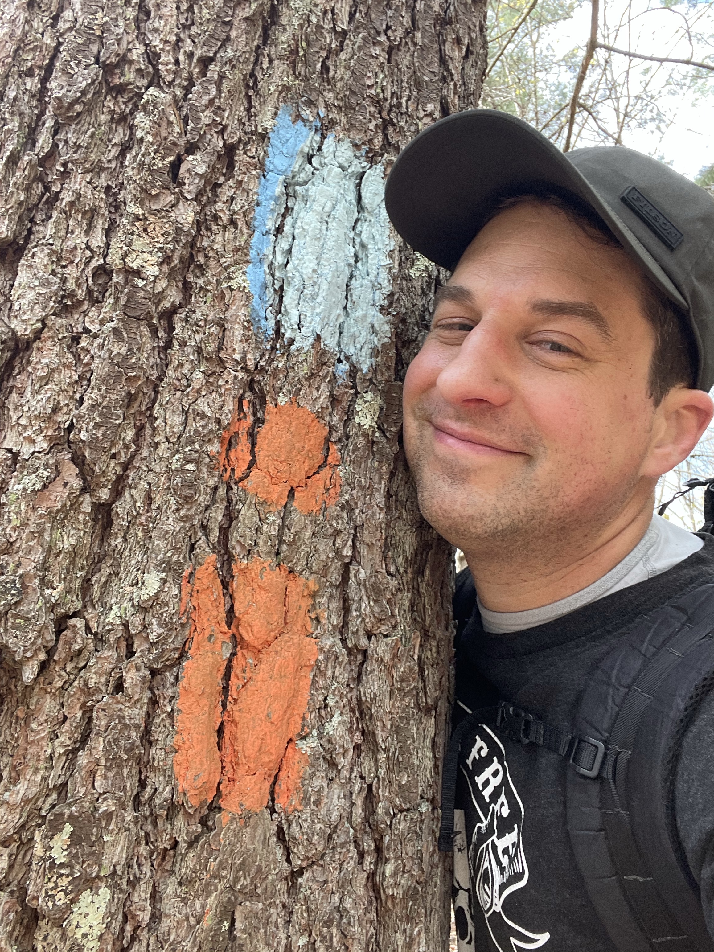
The stretch from Elizabeth Furnace to Veach Gap was all double blazed as the Tuscarora and Massanutten trails. Though on my eight circuits of the orange-blazed Massanutten trail it was the blue-blazed Tuscarora that was the interloper for me; this time it was the other way around. Brian and I enjoyed the ridge full of fellow backpackers and the long descent into Veach Gap, eventually catching up with Andrew at Little Crease Shelter just as he was about to give up on us and carry on.
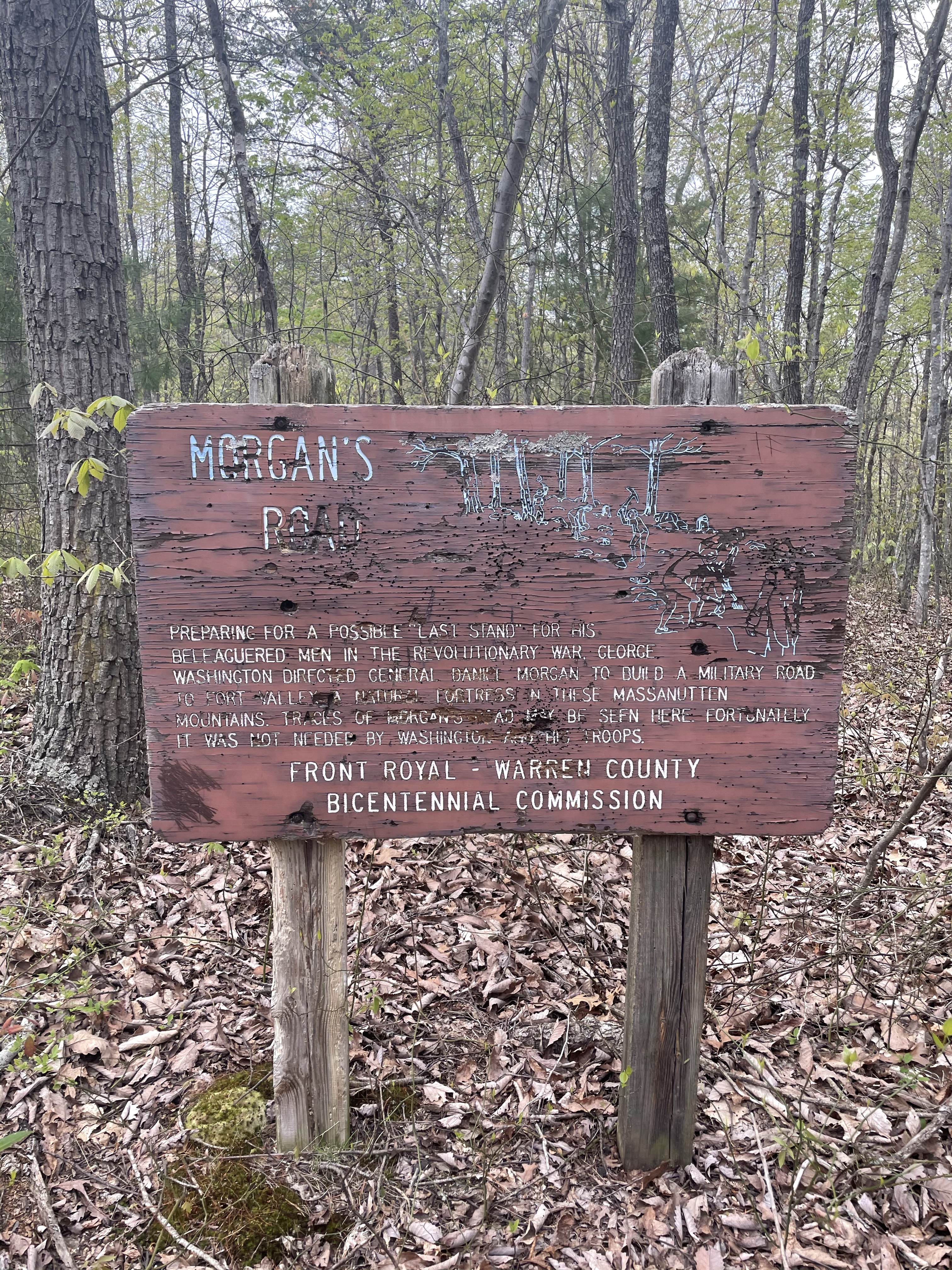
We climbed out of the gap and said goodbye to the Massanutten trail. Thus began our descent on a revolutionary-era road built by General Morgan for General Washington to serve as a worst-case fallback route to Fort Valley against the British. Though Washington wouldn’t have need of it, we were glad it was still around to get us off the steep ridge. I chatted with a few adventure racers on mountain bikes who asked if I knew anything about the area. When it comes to the Massanuttens, I would say I knew its trails pretty damn well. We examined maps together as they plotted how to race along on their merry way. I would end up seeing dozens more of their fellow combatants down in the valley itself as others completed their paddling section.
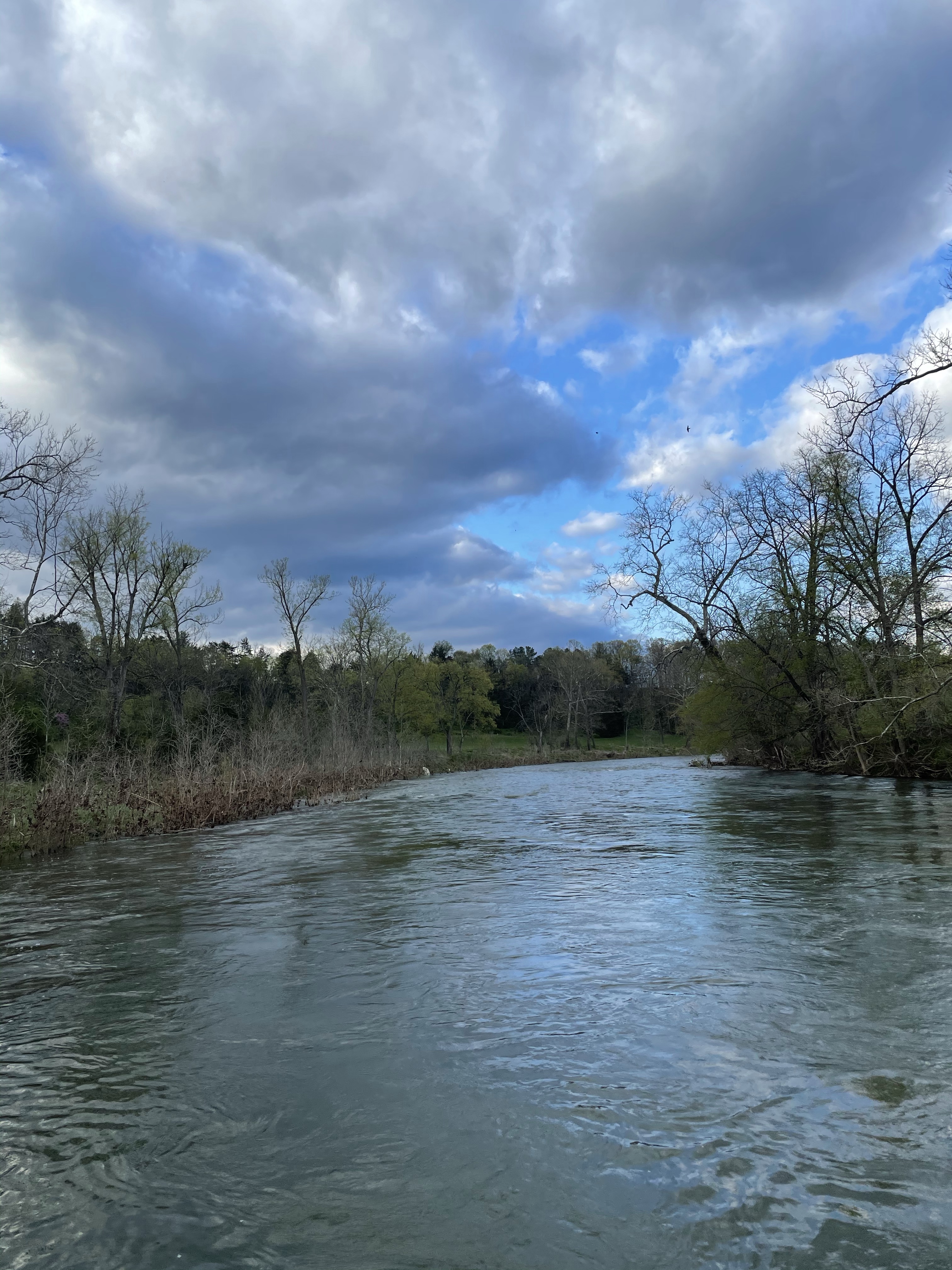
Our final Page Valley miles were lovely. I decided to pull out some whiskey as I strolled over the south prong of the Shenandoah River. History was everywhere around us, even of the unseemly Confederate kind. The only thing marring the scene was a host of flies swarming the air around us at times. These flies wanted nothing to do with us, however. No bites. Nobody even wanted to land on us. They had other things in mind. Sex. You see, most of these flies were attached to each other (literally) and pulling off the (to us) stunning feat of both fucking and flying. Andrew, a pilot himself, was most impressed.
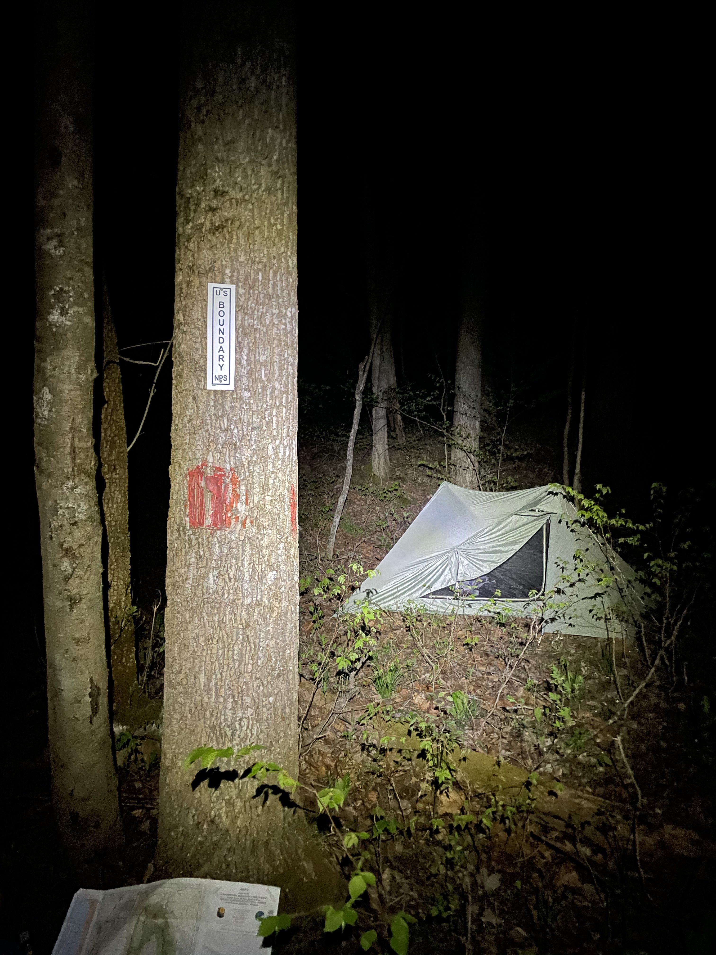
Our day ended at around mile 25 right inside the border of Shenandoah National Park. We set up camp and out came the whiskey again. I furnished a couple cigars too. We enjoyed the pleasant evening. I even shared my libations with a few suicidal spiders.


Tuscarora Trailing: Day Four, Shenandoah National Park boundary to Hogback Overlook Parking, ~8 miles.
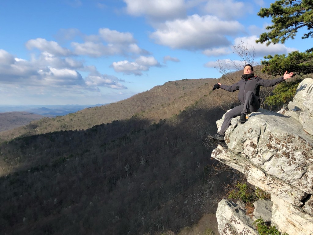
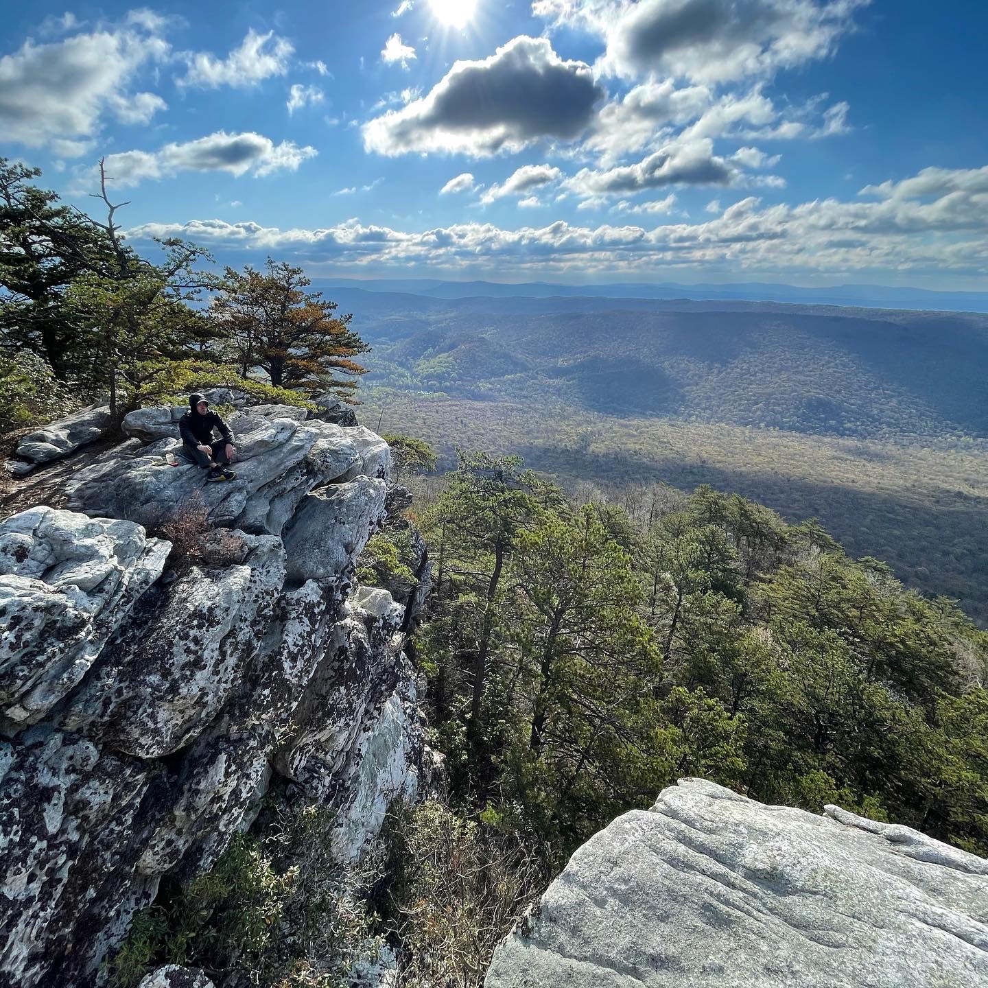
Our final day was only eight miles. But it wasn’t without its challenges. From our campsite to the end of the trail high on the Blue Ridge was a good 2,400 foot climb. Also, entering SNP and its web of trails was . . . a thing. We spread out and when I got to the epic overlook of Overall Run Falls I found Andrew ready to move on after a break. I decided to stick around and wait for Brian. After about 20 minutes soaking in the view I too carried on the trail. SNP was full of day hikers per usual and it was also great to meet up with the white-blazed Appalachian Trail to complete the trip. Andrew and I waited at his car for a bit before looking at each other with a puzzled expression. Where was Brian?

Andrew and I strolled over to Hogback Overlook and got a great view of the entire Massanutten trail loop. It’s one of heck of a ridge. Brian did eventually show up. Turns out hiking the blue-blazed Tuscarora Trail for dozens and dozens of miles had acclimated him to following blue. Problem was, in SNP, there’s a lot of blue blazes. Between that and a confusing SNP direction post, he had picked up some mistaken direction bonus miles. But really, all was well and Brian had a good story. For him, he had all but 10 or so miles north of Gore to complete to finish his Tuscarora Trail section hike. Andrew had already completed his. My eventual completion is waiting for me with one final 110-mile go in Pennsylvania.
But for this outing, 69-miles, 12,000 feet of ascent, 10,000 feet of descent, and a winery in the middle, I was just happy to go back to the start of the Tuscarora with Brian and Andrew.


Leave a comment